
Photo Gallery
Community photos and memories
No photos found.
Community Photos
Photos from local communities and photographers
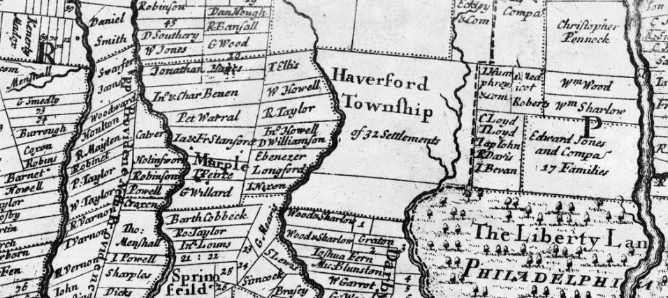
1681 32 settlements
A map of the improved part of the Province of Pennsilvania in America : begun by Wil. Penn, Proprietary & Governour thereof anno 1681
Wikimedia Commons (cc0)
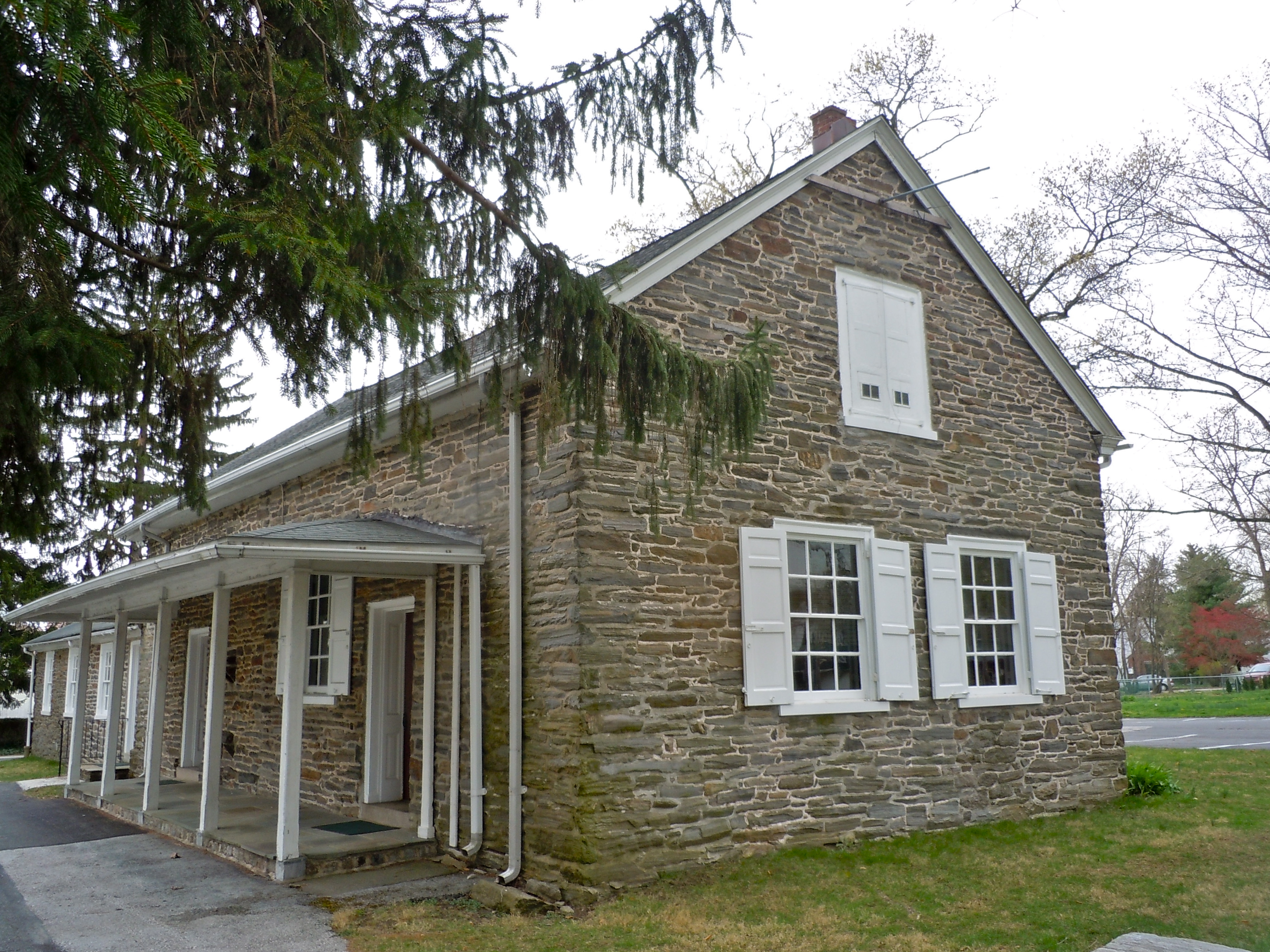
1683 Haverford Friends
Old Haverford Friends' Meeting. PHMC state historical marker dedicated on Friday, October 24, 1975. At SR 1005 (E. Eagle Rd.) at St. Denis Ave., Havertown, Delaware County, Pennsylvania. 39.991°N 75.3048°W Historical themes: Religion, William Penn. Quaker meeting founded 1683, but earliest part of current building built 1700. William Penn visited in 1699.
Wikimedia Commons (cc0)
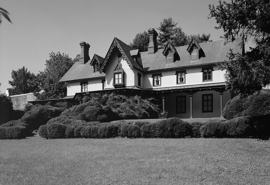
GrangeEstate
The Grange Estate, Havertown, PA, a historic house museum.
Wikimedia Commons (public domain)

Haverford High School Entrance in December 2025
Haverford High School Entrance in December 2025
Wikimedia Commons (cc0)

Havertown PCP Superfund Site Aerial View
Havertown PCP Superfund Site Aerial View map
Wikimedia Commons (public domain)

Philadelphia Inquirer Penfield Advertisement
Philadelphia Inquirer Penfield Advertisement
Wikimedia Commons (public domain)

West Overbrook Station
West Overbrook Station (Septa) on U.S. Route 1, aka City Line Road, just at the western border of Philadelphia, where the name of US 1 changes to Township Line Road. Fairly minor station
Wikimedia Commons (public domain)