
Photo Gallery
Community photos and memories
No photos found.
Community Photos
Photos from local communities and photographers

Bloodylane
A view down the "Bloody Lane" at the Antietam National Battlefield, in northwestern Maryland.
Wikimedia Commons (public domain)
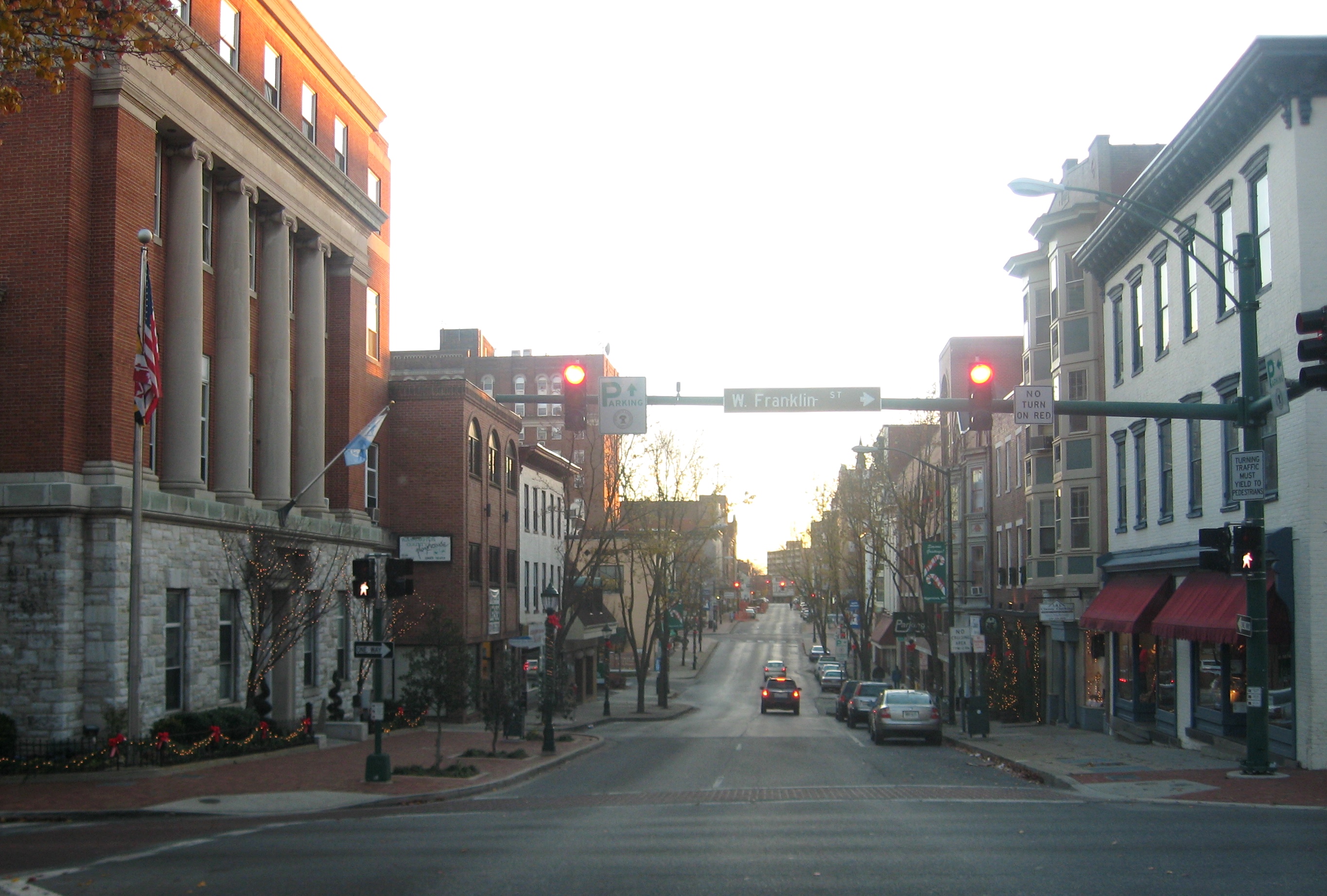
Hagerstown Downtown Potomac St
Looking south on Potomac Street in downtown Hagerstown, Maryland, United States.
Wikimedia Commons (public domain)

LibraryTruckMaryland1916
"The Library Automobile Truck in Washington County, Maryland". 1916. Intermediate commentator notes "the truck appears to be an electric and has solid tires."
Wikimedia Commons (public domain)

Maryland, Elk Mountain, Signal Tower - NARA - 533296
General notes: Use War and Conflict Number 226 when ordering a reproduction or requesting information about this image.
Wikimedia Commons (public domain)

Maryland, Pleasant Valley - NARA - 533298
Wikimedia Commons (public domain)

National Pike, (and tracks of) Western Maryland R. R., (along) C. & O. Canal, east of Hancock, Md. LCCN2012649621
Title: National Pike, [and tracks of] Western Maryland R. R., [along] C. & O. Canal, east of Hancock, Md. Abstract/medium: 1 photographic print.
Wikimedia Commons (public domain)

Roundtop Hill outcrop2
Anticlinal fold in Silurian Wills Creek Formation or Bloomsburg Formation along Western Maryland Railway cut at Roundtop Hill (Maryland), southwest of Hancock, Maryland. Photographed 2001.
Wikimedia Commons (public domain)

The Confederates under Stuart crossing the Potomac at McCoy's Ferry to destroy the Baltimore & Ohio Canal
The Confederates under Stuart crossing the Potomac at McCoy's Ferry to destroy the Baltimore & Ohio Canal (title) during the American Civil War. Chesapeake & Ohio Canal and lockhouse in the foreground, troops crossing Potomac in background. Drawing by Theodore R. Davis on grey paper, pencil, brown wash, and Chinese white ; 19.7 x 31.2 cm. Library of Congress Reproduction Number LC-DIG-ppmsca-22769
Wikimedia Commons (public domain)
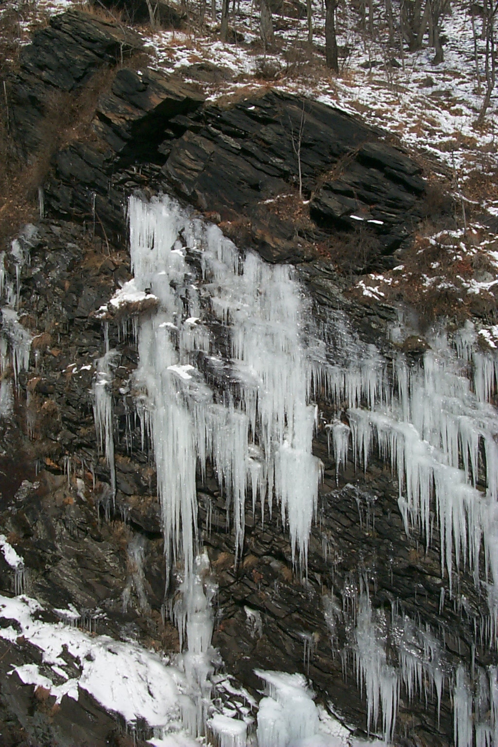
Wea03015 - Flickr - NOAA Photo Library
Icicles formed from natural seeps near Harpers Ferry. C&O Canal near Sandy Hook, Maryland.
Wikimedia Commons (public domain)