
Photo Gallery
Community photos and memories
No photos found.
Community Photos
Photos from local communities and photographers
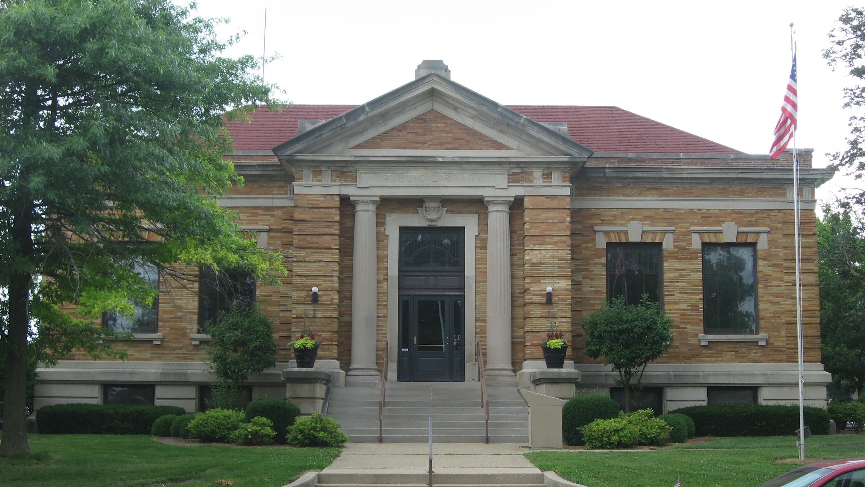
Shelbyville Carnegie Library
Front of the Shelbyville Carnegie Library, located at 154 N. Broadway in Shelbyville, Illinois, United States. Built in 1904, it is part of the Shelbyville Historic District, a historic district that is listed on the National Register of Historic Places.
Wikimedia Commons (public domain)
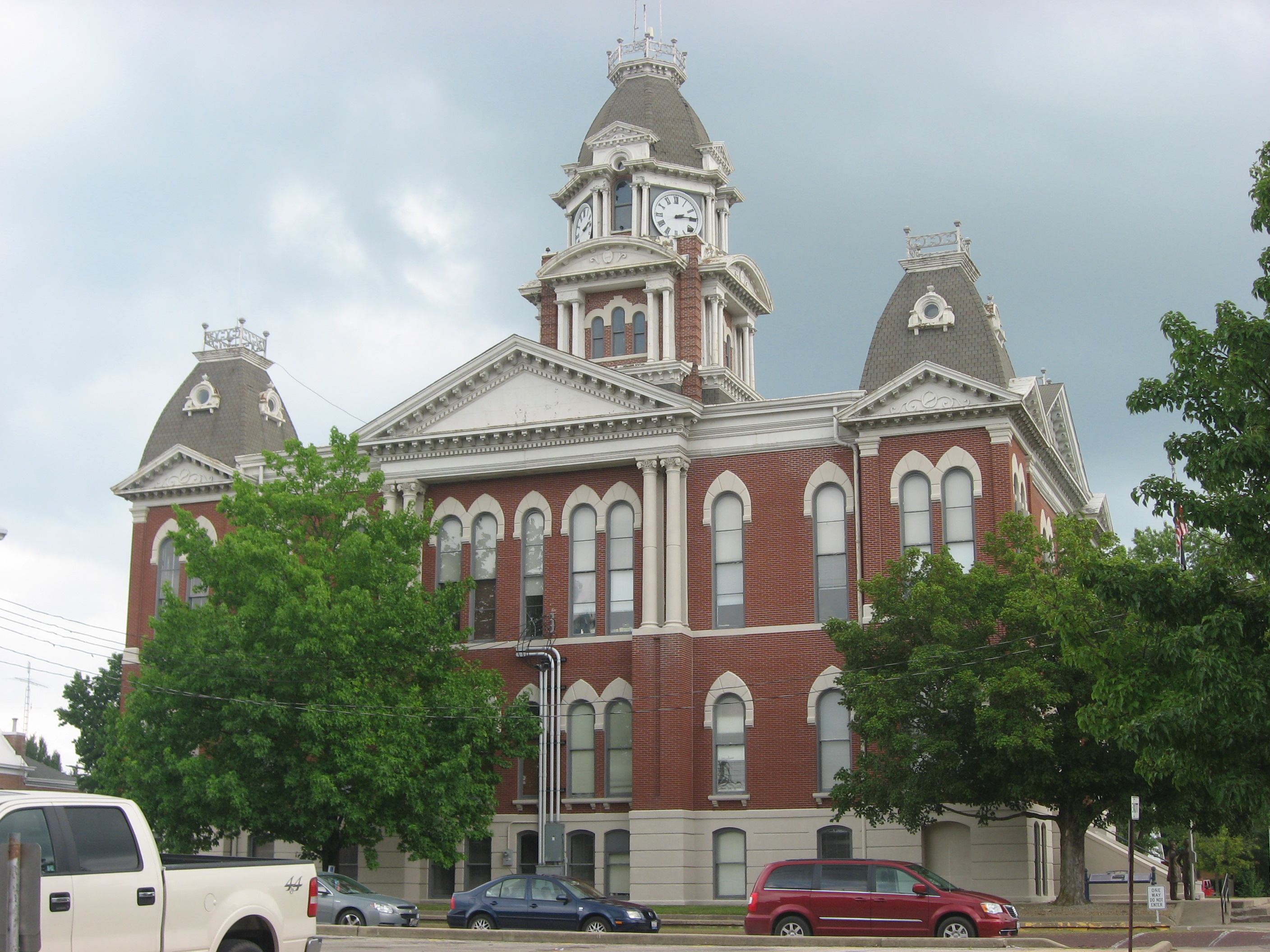
Shelby County Courthouse in Illinois
Western side of the Shelby County Courthouse, located at 301 E. Main Street (Illinois Route 16) in Shelbyville, Illinois, United States. Built in 1880, it is part of the Shelbyville Historic District, a historic district that is listed on the National Register of Historic Places.
Wikimedia Commons (public domain)
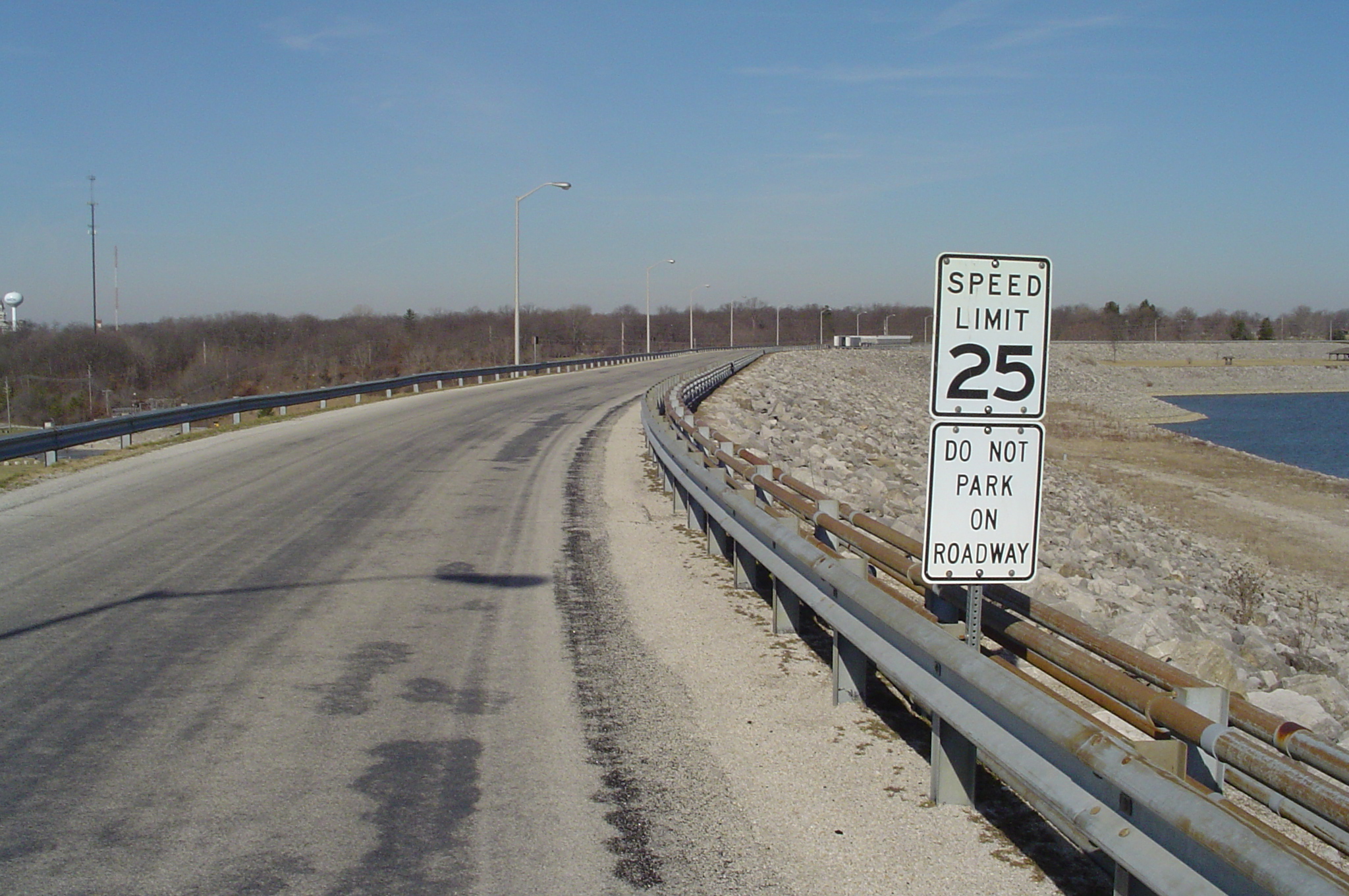
Svilledam
Wikimedia Commons (public domain)

USACE Shelbyville Dam and Lake
Shelbyville Lake and Dam on the Kaskaskia River — near Shelbyville, Illinois, USA. The U.S. Army Corps of Engineers completed construction of the dam on the Kaskaskia River in central Illinois in 1970.
Wikimedia Commons (public domain)

Entrance to Forest Park, Chautauqua. Shelbyville, Ills. LCCN2012645688
Title: Entrance to Forest Park, Chautauqua. Shelbyville, Ills. Abstract/medium: 1 photographic print.
Wikimedia Commons (public domain)

Horace M. Tallman House
Front of the Horace M. Tallman House, located at 816 W. Main Street (Illinois Route 16) in Shelbyville, Illinois, United States. Built in 1905, it is listed on the National Register of Historic Places.
Wikimedia Commons (public domain)

Shelbyville Bridge 1919
The Kaskaskia River Viaduct after being strengthened, Chicago & Eastern Illinois Railroad, Shelbyville, Illinois, 1919
Wikimedia Commons (public domain)

Shelbyville Lake and Findlay Bridge
Lake Shelbyville on the Kaskaskia River in Moultrie and Shelby Counties, Illinois, USA. The lake is formed by Shelbyville Dam. This photograph shows County Road 3 crossing the lake, and running toward the town of Findlay, which is visible 2.5 miles (4 km) in the distance at the top of the picture. At this point the highway and bridge are the border between Moultrie County (right) and Shelby County (left). View is to the west. NOTE: The original photograph on the U.S. Army Corps of Engineers webs
Wikimedia Commons (public domain)