
Photo Gallery
Community photos and memories
No photos found.
Community Photos
Photos from local communities and photographers

Wabash caboose VOA
Wabash caboose on display along the Katy Trail in St. Charles, Missouri
Wikimedia Commons (public domain)

VIEW SHOWING SOUTH SIDE OF BRIDGE, LOOKING NORTHWEST FROM EAST BANK OF RIVER - Old St. Charles Bridge, On Route 115, Saint Charles, St. Charles County, MO (cut)
Old St. Charles Bridge, On Route 115, Saint Charles, St. Charles County, MO (Old Route 40 Bridge) Survey number: HAER MO-30 Call Number: HAER MO,92-SAICH,31- Repository: Library of Congress Prints and Photographs Division Washington, D.C. 20540
Wikimedia Commons (public domain)

Saint Charles (MO) Sister-City
Saint Charles (MO) Sister-City's sign.
Wikimedia Commons (public domain)

"High Water. 1903." (Bird's-eye-view of a flooded farm in St. Charles, Missouri)
Title: "High Water. 1903." (Bird's-eye-view of a flooded farm in St. Charles, Missouri).
Wikimedia Commons (public domain)

1st Capitol St Charles MO
First Missouri State Capitol Buildings on NRHP since April 16, 1969. At 208-216 S. Main St., St. Charles, Missouri.
Wikimedia Commons (public domain)

A View from St. Charles on the Missouri
Watercolor landscape painting of the Missouri River as seen from St. Charles by Anna Maria von Phul.Title: A View from St. Charles on the Missouri
Wikimedia Commons (public domain)

Baseball game in St. Charles, Missouri
Title: Baseball game in St. Charles, Missouri.
Wikimedia Commons (public domain)

Carolers St. Charles, Missouri
Carolers wearing vintage costumes sing during the Christmas Traditions Festival
Wikimedia Commons (cc0)

MKT caboose 139 VOA
A green MKT caboose on display in St. Charles, Missouri, along the Katy Trail
Wikimedia Commons (public domain)
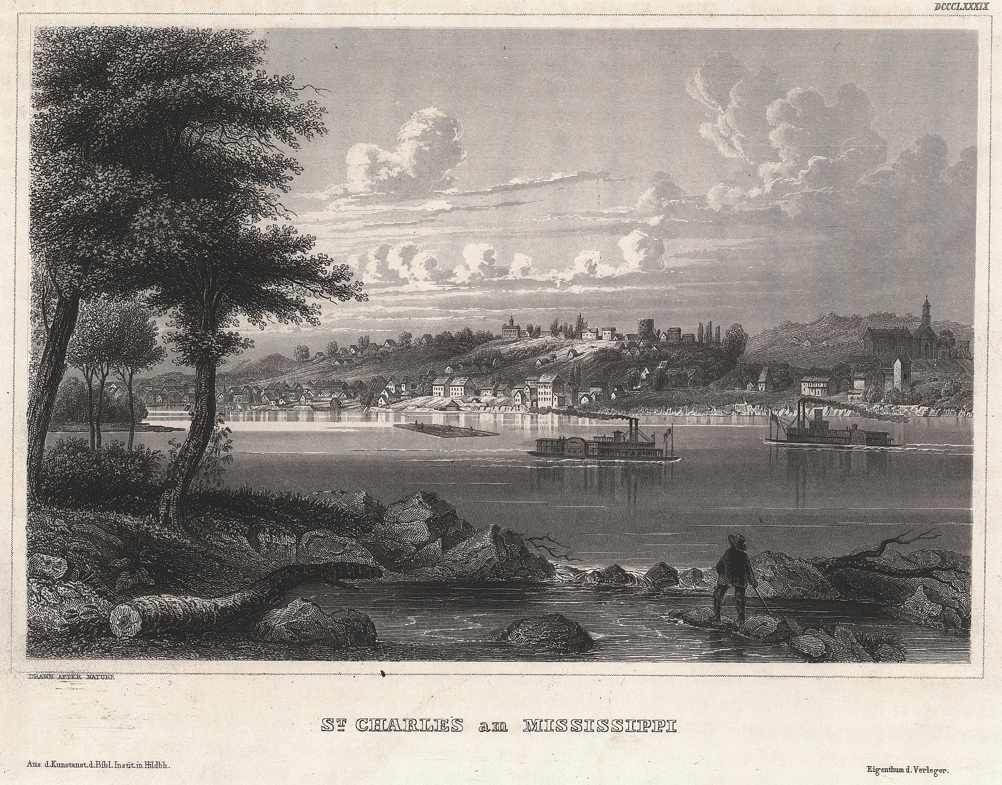
Meyers Universum Band 19 19
St. Charles am Missouri
Wikimedia Commons (public domain)

Missouri - Pattonsburg through Weldon Springs - NARA - 23941805
Wikimedia Commons (public domain)

Newbill-McElhiney House
Newbill-McElhiney House on the NRHP since April 11, 1972. At 625 S. Main St., St. Charles, Missouri. In the main Historic District in town as well as being separately listed
Wikimedia Commons (public domain)
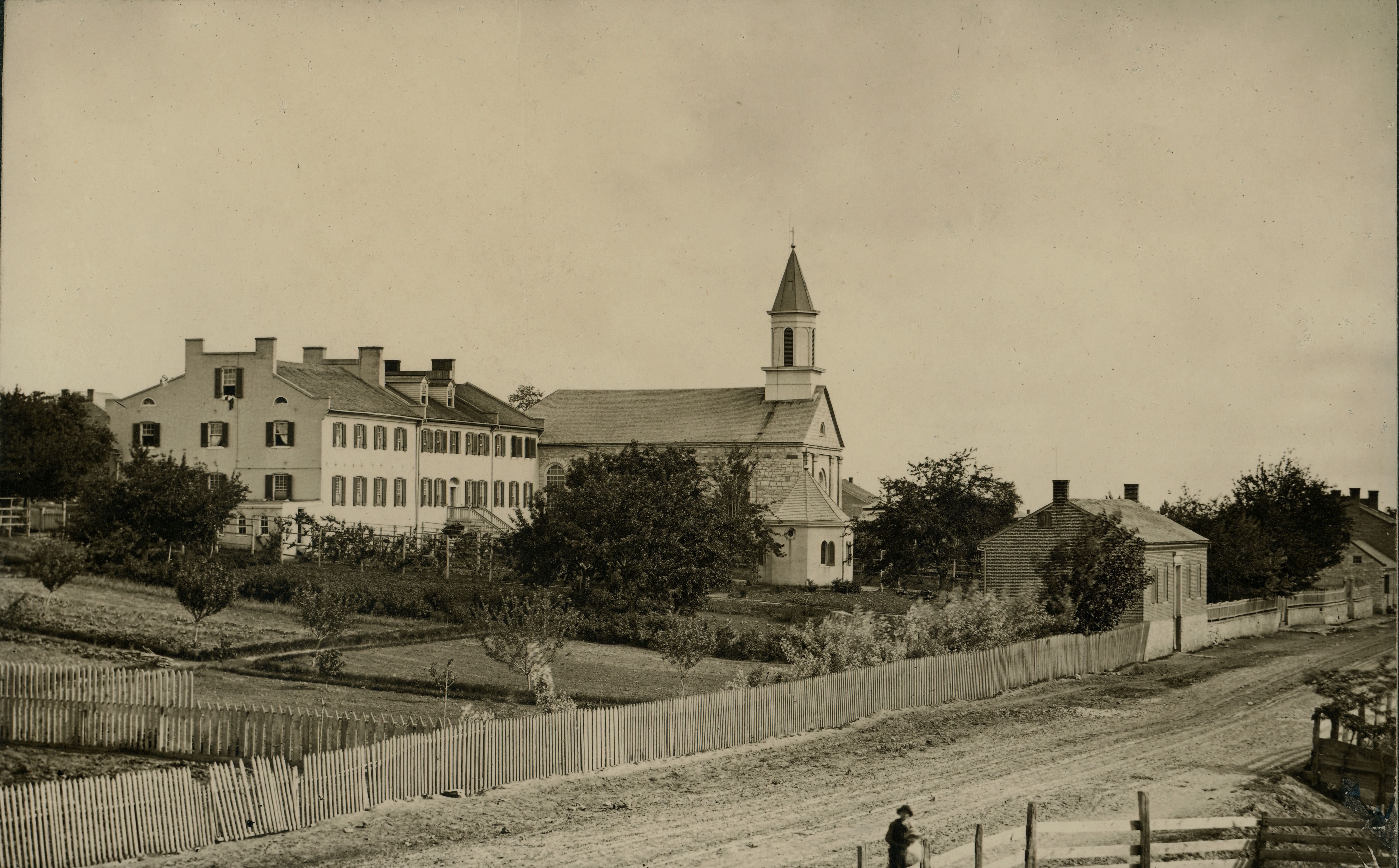
Sacred Heart Convent and Saint Charles Borromeo Catholic Church in Saint Charles
Title: Sacred Heart Convent and Saint Charles Borromeo Catholic Church in Saint Charles.
Wikimedia Commons (public domain)
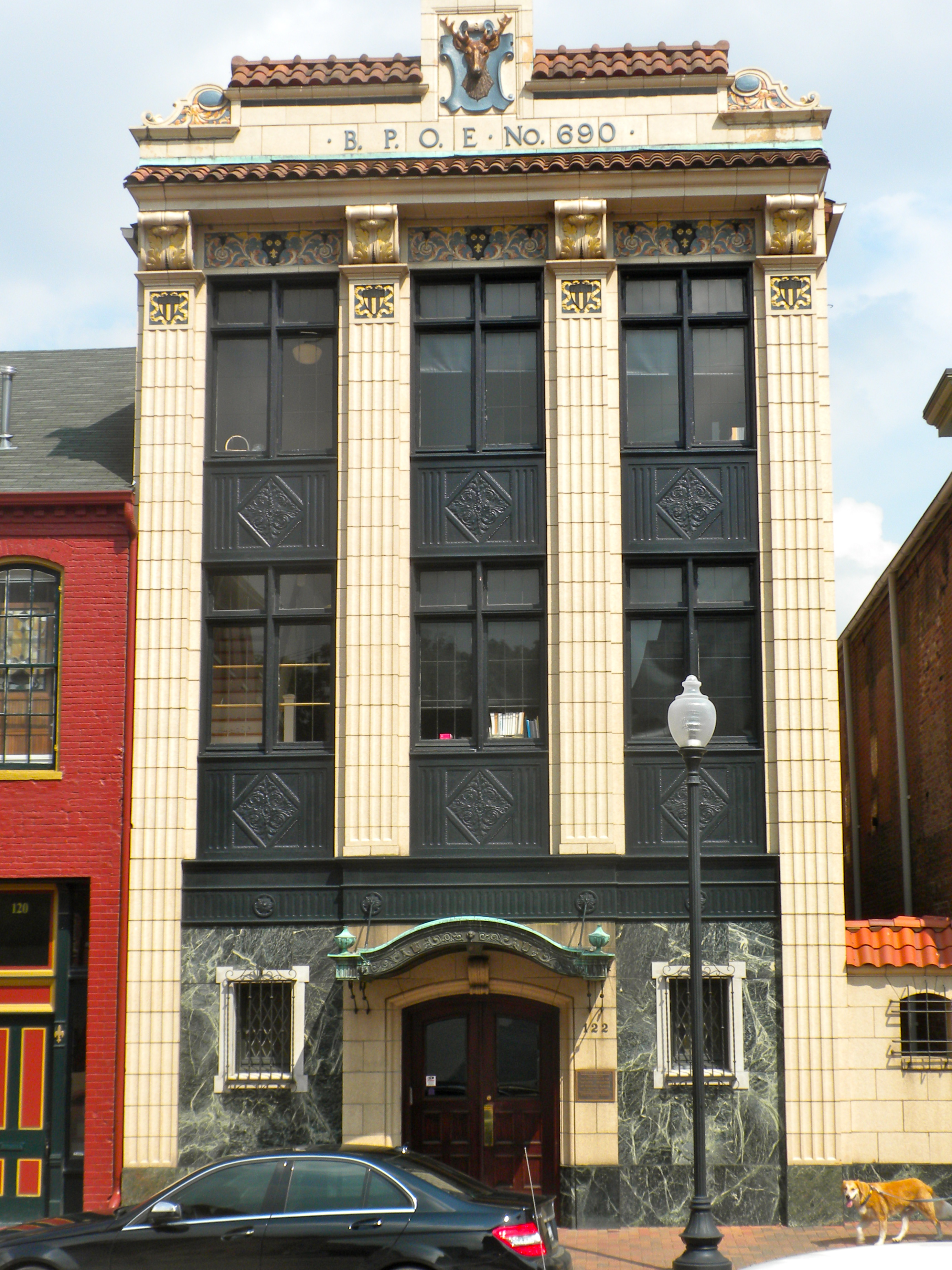
St Charles MO BPOE
St. Charles, Missouri BPOE (Elks Club) at 122 S. Main. This is part of the St. Charles Historic District, on the NRHP since September 22, 1970. The boundaries are as messy as any HD on the NRHP, but it basically goes from Adams Street in the north to Chauncey - Boone's Lick Rd in the south, along the Missouri River for about 1.5 miles, and inland to 2nd Street, including Main Street. Official boundaries are roughly bounded by the Missouri River and Madison, Chauncey, and 2nd Sts.; also 1000
Wikimedia Commons (public domain)
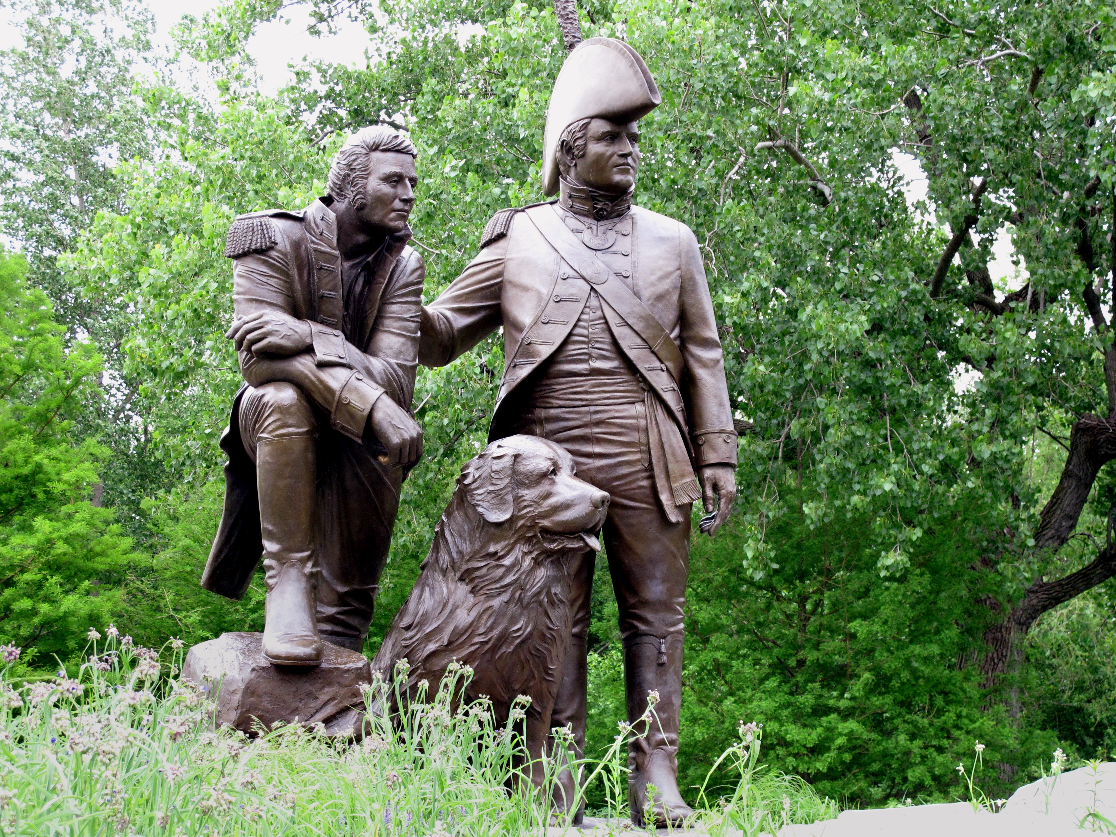
Amer0145 (9715909375)
The Lewis and Clark statue at St. Charles. Image ID: amer0145, NOAA's Small World Collection Location: Missouri, St. Charles Photo Date: 2011 May 24 Photographer: Dr. David Goodrich, NOAA (ret.)
Wikimedia Commons (public domain)