
Photo Gallery
Community photos and memories
No photos found.
Community Photos
Photos from local communities and photographers

city skyline under white sky during daytime
city skyline under white sky during daytime
Photo by Christian Ladewig on Unsplash

Lower Manhattan from Ellis Island ferry after 9/11
Lower Manhattan from Ellis Island ferry after 9/11
Photo by Yalimna Etnegoroska on Unsplash

city skyline across body of water under blue and white sunny cloudy sky during daytime
city skyline across body of water under blue and white sunny cloudy sky during daytime
Photo by Jose Oh on Unsplash

View over Manhattan
View over Manhattan
Photo by Lyle Hastie on Unsplash

Main-Street-Holmes-NY
"Main St.," (Route 292) Holmes, New York (1914)
Wikimedia Commons (public domain)
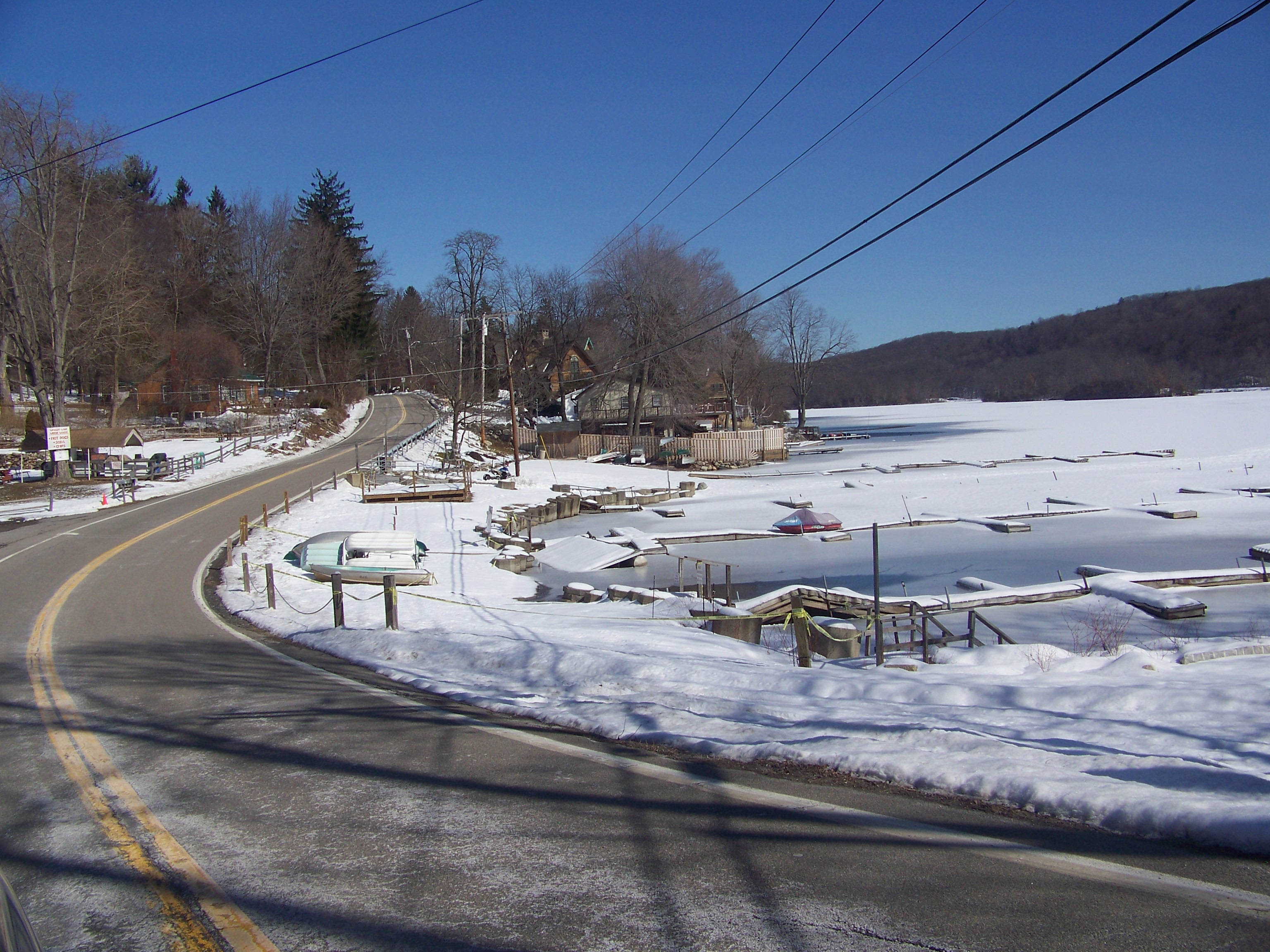
NY 292 near Whaley Lake
A view of New York State Route 292 in Dutchess County, New York, United States, looking north, along side Whaley Lake
Wikimedia Commons (public domain)

Pawling, United States (Unsplash)
Pawling, United States
Wikimedia Commons (cc0)

Holmes Falls 133
The waterfall in Holmes, New York in the town of Pawling. It is near the intersection of Dutchess County Route 30 (also known as Holmes Road - which is visible) and New York Route 292 (at camera position).
Wikimedia Commons (cc0)

Holmes station 134
The sight of the former Holmes station along the Maybrook line, once owned by the NYNH&H, the Housatonic, and now owned by the Metro-North Railroad. The station was also known as the "West Patterson" station. The remains of a building foundation are visible on the other side of the track.
Wikimedia Commons (cc0)

Holmes station looking sse 135
Lookin south-southeast from the site of the former Holmes station along the Maybrook or Beacon Line, now owned by Metro-North Railroad.
Wikimedia Commons (cc0)