
Photo Gallery
Community photos and memories
No photos found.
Community Photos
Photos from local communities and photographers

Freeman's Corner
Looking eastward from State Road 37 on the northern edge of Orleans in Orleans Township, Orange County, Indiana, United States. In the field on the other side of the railroad line is Freeman's Corner, an important regional surveying point.
Wikimedia Commons (public domain)

Freeman's Corner historical marker
A historical marker near Orleans in Southeast Township, Orange County, Indiana, United States. Placed in 1966 to commemorate a nearby surveying point, it is located on the eastern side of State Road 37 on the northern edge of Orleans.
Wikimedia Commons (public domain)
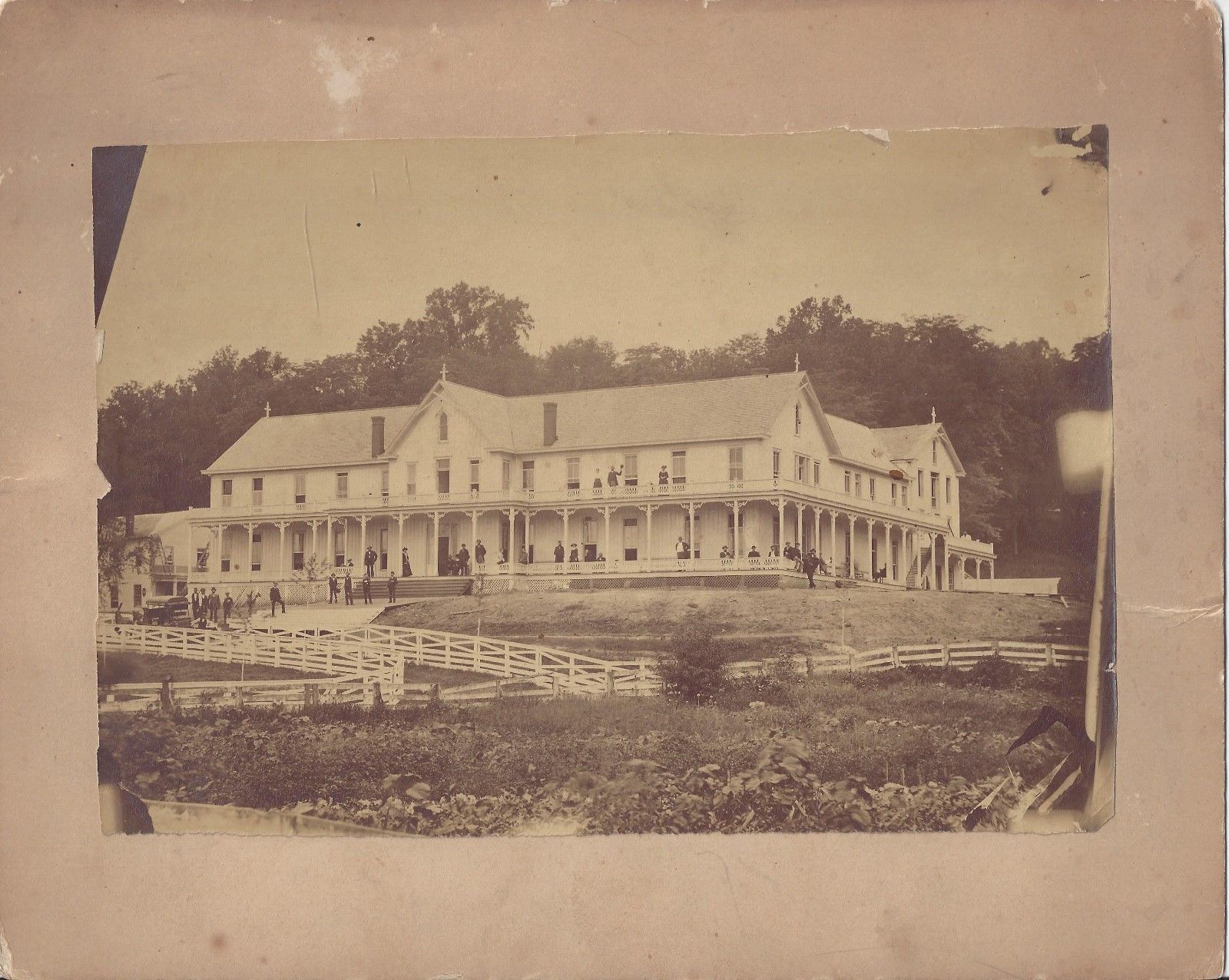
French Lick Hotel c1880s
French Lick Springs Hotel
Wikimedia Commons (public domain)

Indiana State Road 337 turns left in Livonia
Indiana State Road 337 turns left in Livonia, Indiana towards the town of Orleans.
Wikimedia Commons (public domain)

Orange county indiana courthouse 08 2007
Orange County Courthouse, Paoli, by Rick Dikeman, 8/8/2007.
Wikimedia Commons (public domain)

Pines along Springs Valley Trail
Tall pine trees along the Springs Valley Trail in the Hoosier National Forest, Orange County, Indiana.
Wikimedia Commons (public domain)

Pivot Point historical marker
A historical marker at Pine Valley in Southeast Township, Orange County, Indiana, United States. Placed in 1961, it is located on the eastern side of State Road 37 at its junction with Pivot Point Road, about 6.5 miles south of Paoli.
Wikimedia Commons (public domain)

Shocks by Lynd School
Grain shocks in a field behind the Lynd School, located at along N. Lynd Road northwest of Livonia in Stampers Creek Township, Orange County, Indiana, United States.
Wikimedia Commons (public domain)