
Photo Gallery
Community photos and memories
No photos found.
Community Photos
Photos from local communities and photographers

Black Heath – Valentine Museum Collections
Photograph of Black Heath taken between 1888 and 1915 by Robert A. Lancaster Jr. The house was built in the late 1790s or 1800s by Harry Heth, a prominent coal businessman. Collapsed around the 1920s as a result of coal mines underneath the house and subsequently demolished. The site is just northeast of modern day Midlothian, Virginia
Wikimedia Commons (public domain)

Chesterfield County Administration Building
Chesterfield County Administration Building, in Chesterfield County, Virginia.
Wikimedia Commons (cc0)

Chesterfield County Police Department headquarters
Chesterfield County Police Department headquarters in Chesterfield County, Virginia.
Wikimedia Commons (cc0)

Dutch Gap Canal, James River, Va - NARA - 526202
Wikimedia Commons (public domain)

Mount Nebo Baptist Church Cemetery
Mount Nebo Baptist Church Cemetery in Chesterfield County, Virginia.
Wikimedia Commons (cc0)
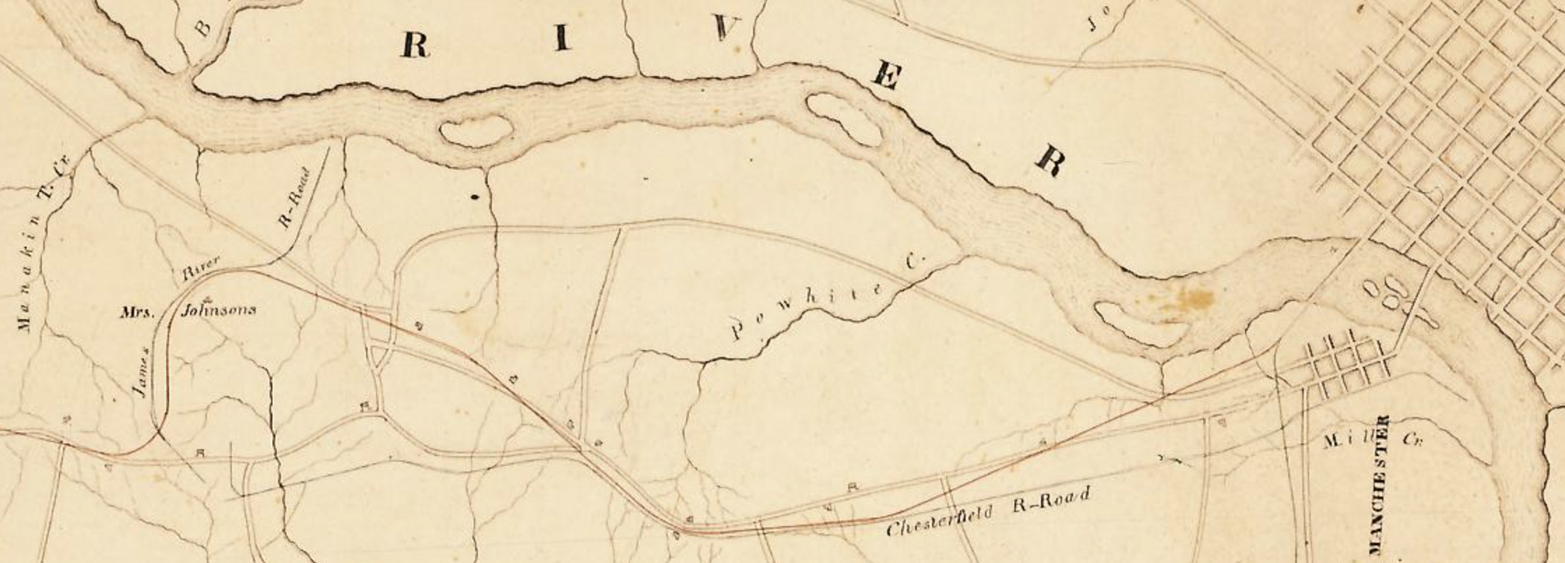
Northern Chesterfield Railroads, 1837
Map of the routes of several railroads in northern Chesterfield County, Virginia, including the Richmond and Petersburg Railroad, the Chesterfield Railroad, the James River Railroad, and the projected Richmond and Farmville Railroad.
Wikimedia Commons (public domain)

Philip Dormer Stanhope, 4th Earl of Chesterfield by Allan Ramsay
See source website for additional information. This set of images was gathered by User:Dcoetzee from the National Portrait Gallery, London website using a special tool. All images in this bath have been confirmed as author died before 1939 according to the official death date listed by the NPG.
Wikimedia Commons (public domain)
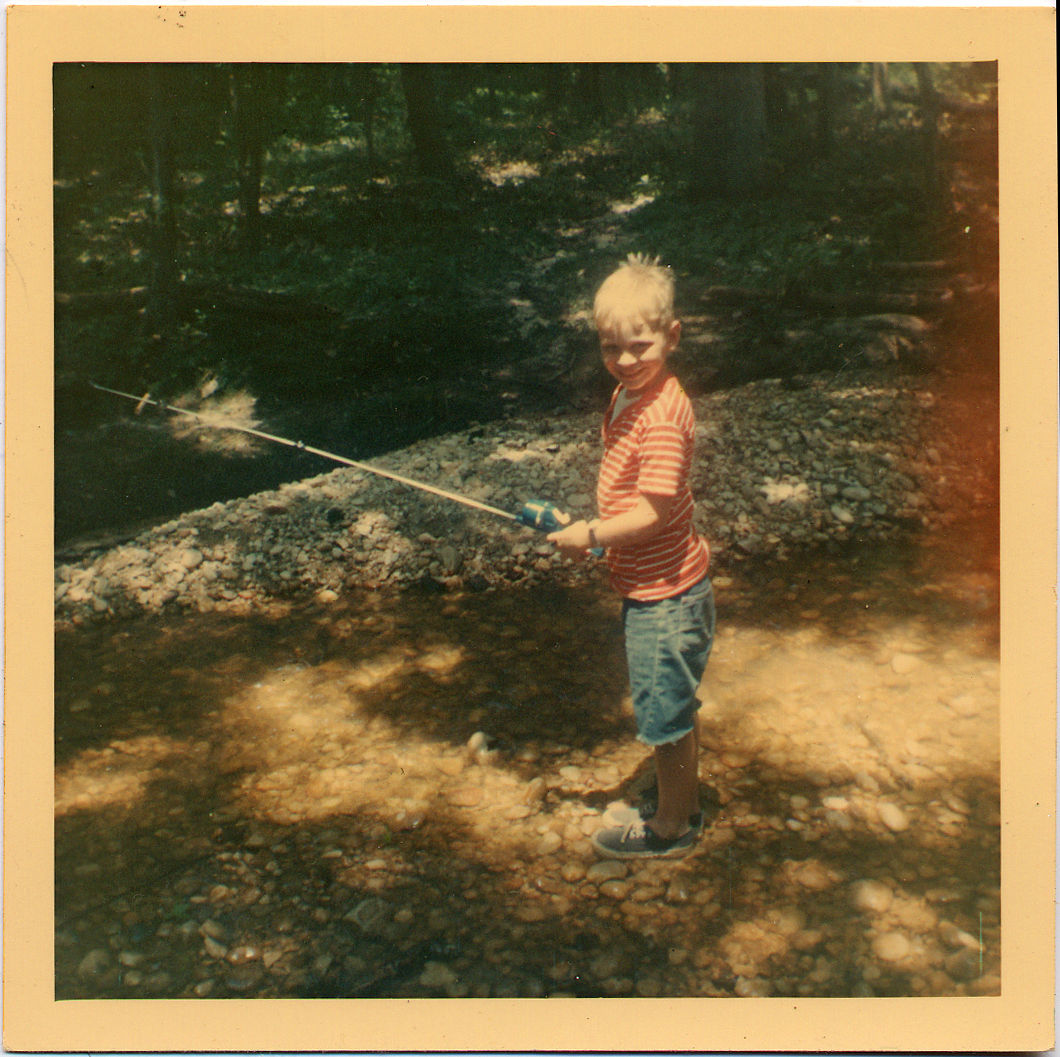
Powhitecreek1969
boy fishing in Powhite creek, Bon Air Va.
Wikimedia Commons (public domain)
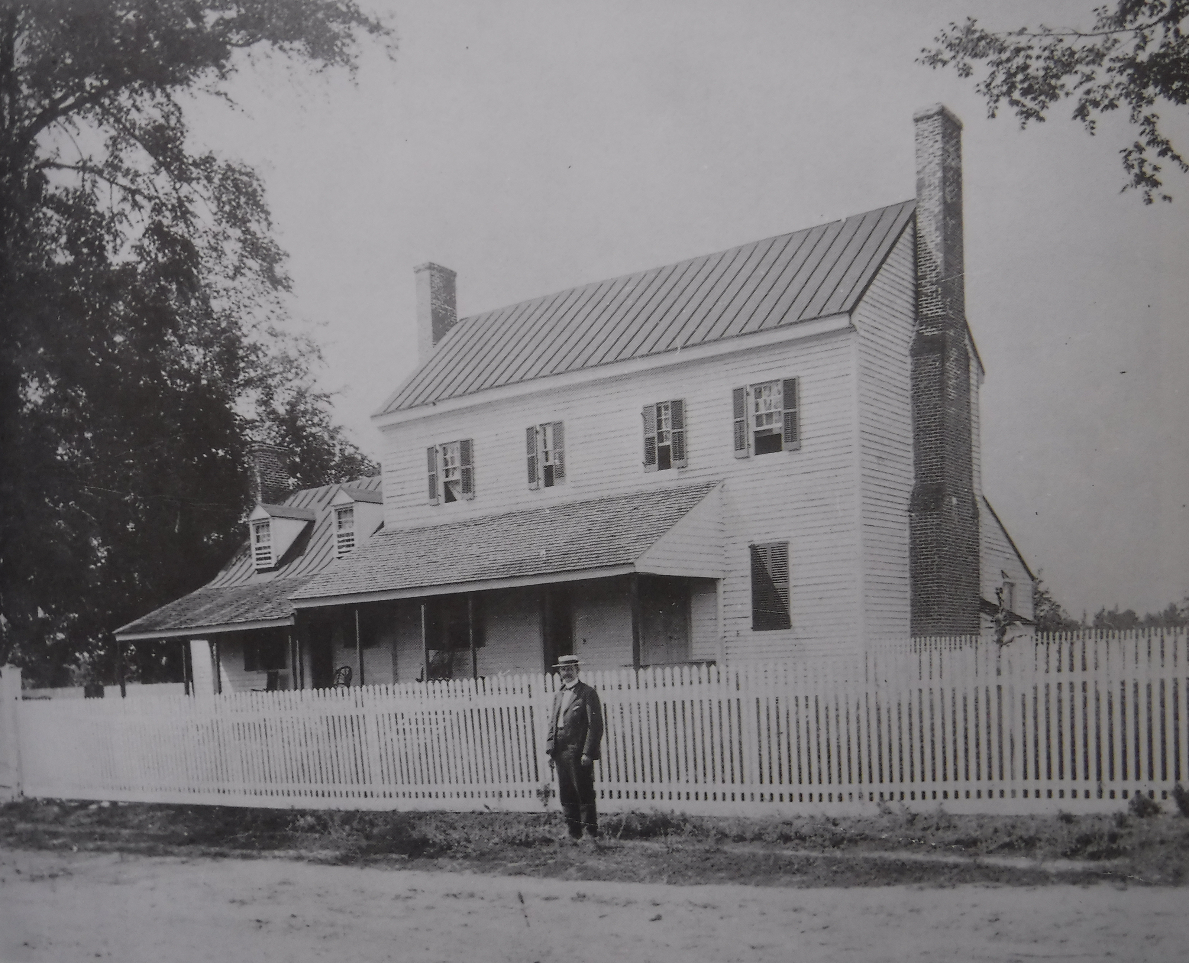
Trabue's Tavern, c. 1900
Trabue's Tavern, c. 1900. L. Shelby Bass can be seen in front.
Wikimedia Commons (public domain)

Western Chesterfield County, Va. – 1864
A map of the western portion of Chesterfield County made in 1864 by the Chief Engineer's Office of the Confederate States of America Army.
Wikimedia Commons (public domain)