
Photo Gallery
Community photos and memories
No photos found.
Community Photos
Photos from local communities and photographers

Beaver Lake from Prairie Creek, Arkansas
A view of Beaver Lake from along Park Road in Prairie Creek, Arkansas
Wikimedia Commons (cc0)

Benton County, Arkansas road equipment
Road department equipment owned by Benton County, Arkansas parked near Springtown city hall
Wikimedia Commons (cc0)

Illinois River at the Chambers Springs Road bridge
Looking upstream at the Illinois River at the Chambers Springs Road bridge
Wikimedia Commons (cc0)

Lake Ann Bella Vista AR
My [Michael Krewson's] personal picture of Lake Ann Bella Vista Village AR in June 2005. I am donating the wikipedia project.
Wikimedia Commons (public domain)

Lake Brittany
Lake Brittany, Arkansas
Wikimedia Commons (public domain)
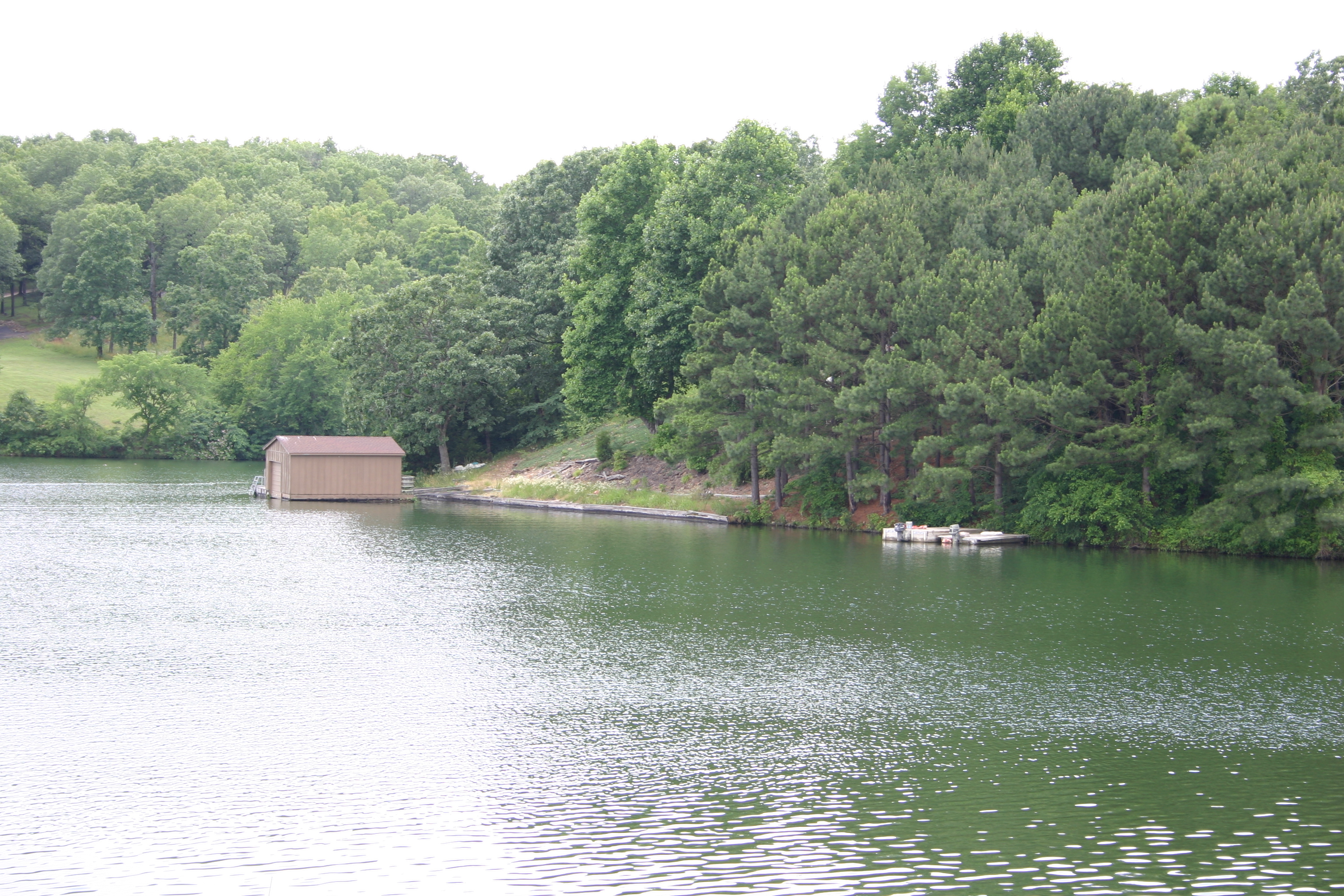
Lake Windsor
Lake Windsor Author is Michael Krewson
Wikimedia Commons (public domain)

MOD Restaurant and Social, Bentonville, United States (Unsplash iBu8Ac2mwNw)
MOD Restaurant and Social, Bentonville, United States
Wikimedia Commons (cc0)

Man Tattooed Hands MOD (Unsplash)
MOD Restaurant & Social, Bentonville, United States
Wikimedia Commons (cc0)

NRCSAR01007(13916)(NRCS Photo Gallery)
NRCS Photo Gallery.
Wikimedia Commons (public domain)

NRCSAR01007 - Arkansas (181)(NRCS Photo Gallery)
NRCS works with landowners to enhance and restore this wetland area in Arkansas.
Wikimedia Commons (public domain)

NRCSAR02001(13920)(NRCS Photo Gallery)
NRCS Photo Gallery.
Wikimedia Commons (public domain)

NRCSAR02001 - Arkansas (185)(NRCS Photo Gallery)
Contrast of grass in an intensive grazing system sepearating livestock with electric fence. This farm rotated cattle on a 3 week rotation.
Wikimedia Commons (public domain)

NRCSAR02002(13922)(NRCS Photo Gallery)
NRCS Photo Gallery.
Wikimedia Commons (public domain)

NRCSAR02002 - Arkansas (187)(NRCS Photo Gallery)
DC Rhonda Foster and Grasslands management Specialist Ralph Harris disucss intensive grazing rotations at a farm in Benton County, Georgia. The producer grazes his cattle on a 3 week rotation.
Wikimedia Commons (public domain)

NRCSAR02003(13924)(NRCS Photo Gallery)
NRCS Photo Gallery.
Wikimedia Commons (public domain)

NRCSAR02003 - Arkansas (189)(NRCS Photo Gallery)
Contrast of grazed and ungrazed pasture under an intensive grazing system. The pastures are separated by electric fence and are on a 3 week rotation per cell.
Wikimedia Commons (public domain)

NRCSAR02004(13926)(NRCS Photo Gallery)
NRCS Photo Gallery.
Wikimedia Commons (public domain)

NRCSAR02004 - Arkansas (191)(NRCS Photo Gallery)
Contrast of grazed and ungrazed pasture under an intensive grazing system. The pastures are separated by electric fence and are on a 3 week rotation per cell.
Wikimedia Commons (public domain)

NRCSAR02005(13928)(NRCS Photo Gallery)
NRCS Photo Gallery.
Wikimedia Commons (public domain)

NRCSAR02005 - Arkansas (193)(NRCS Photo Gallery)
Contrast of grazed and ungrazed pasture under an intensive grazing system. The pastures are separated by electric fence and are on a 3 week rotation per cell.
Wikimedia Commons (public domain)

NRCSAR02020(13958)(NRCS Photo Gallery)
NRCS Photo Gallery.
Wikimedia Commons (public domain)

NRCSAR02020 - Arkansas (223)(NRCS Photo Gallery)
NRCS District Conservationist Rhonda Foster and Grazing Lands Specialist Ralph Horris discuss intensive grazing systems and livestock waterers in Benton, Arkansas.
Wikimedia Commons (public domain)
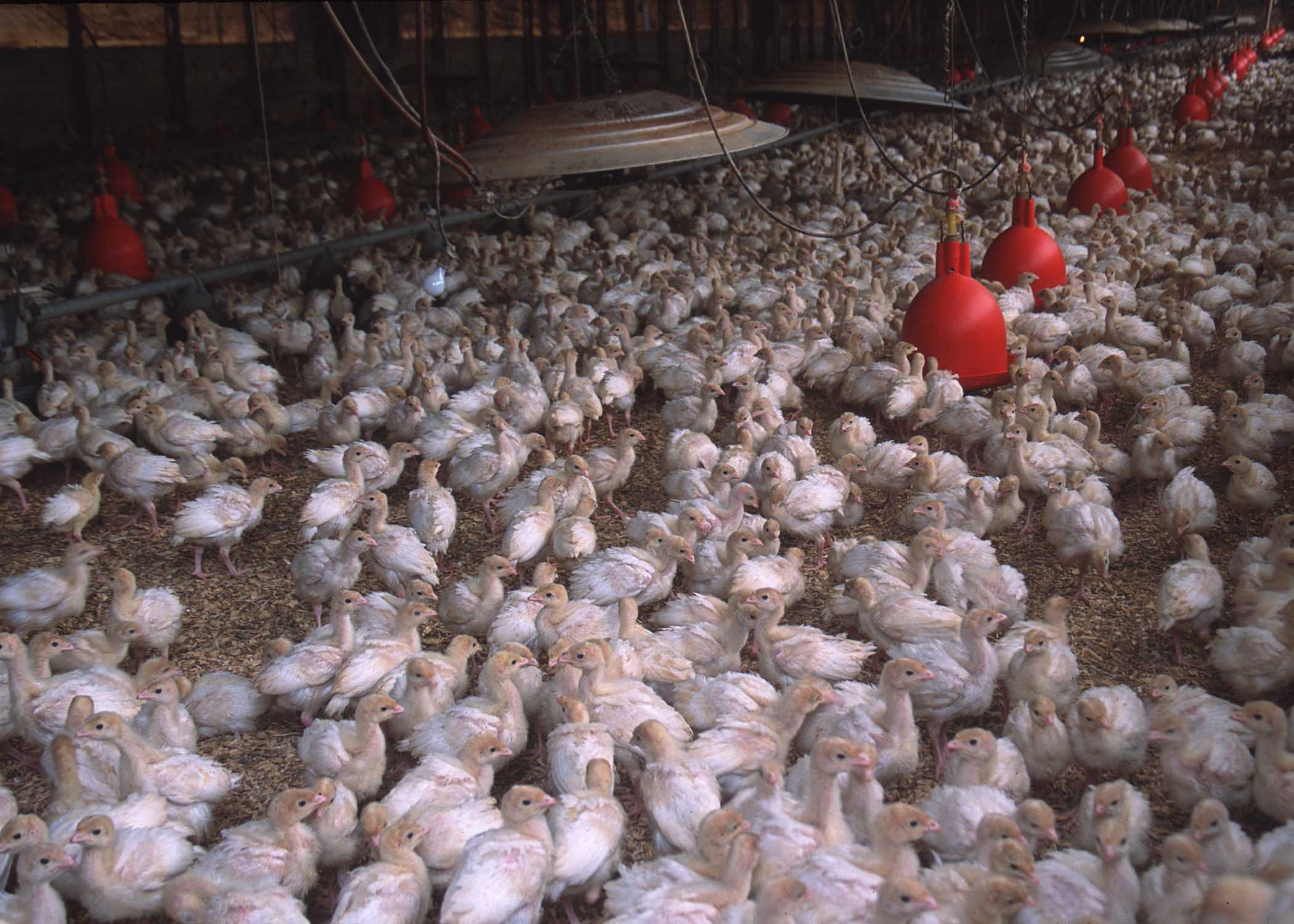
NRCSAR02021(13960)(NRCS Photo Gallery)
NRCS Photo Gallery.
Wikimedia Commons (public domain)
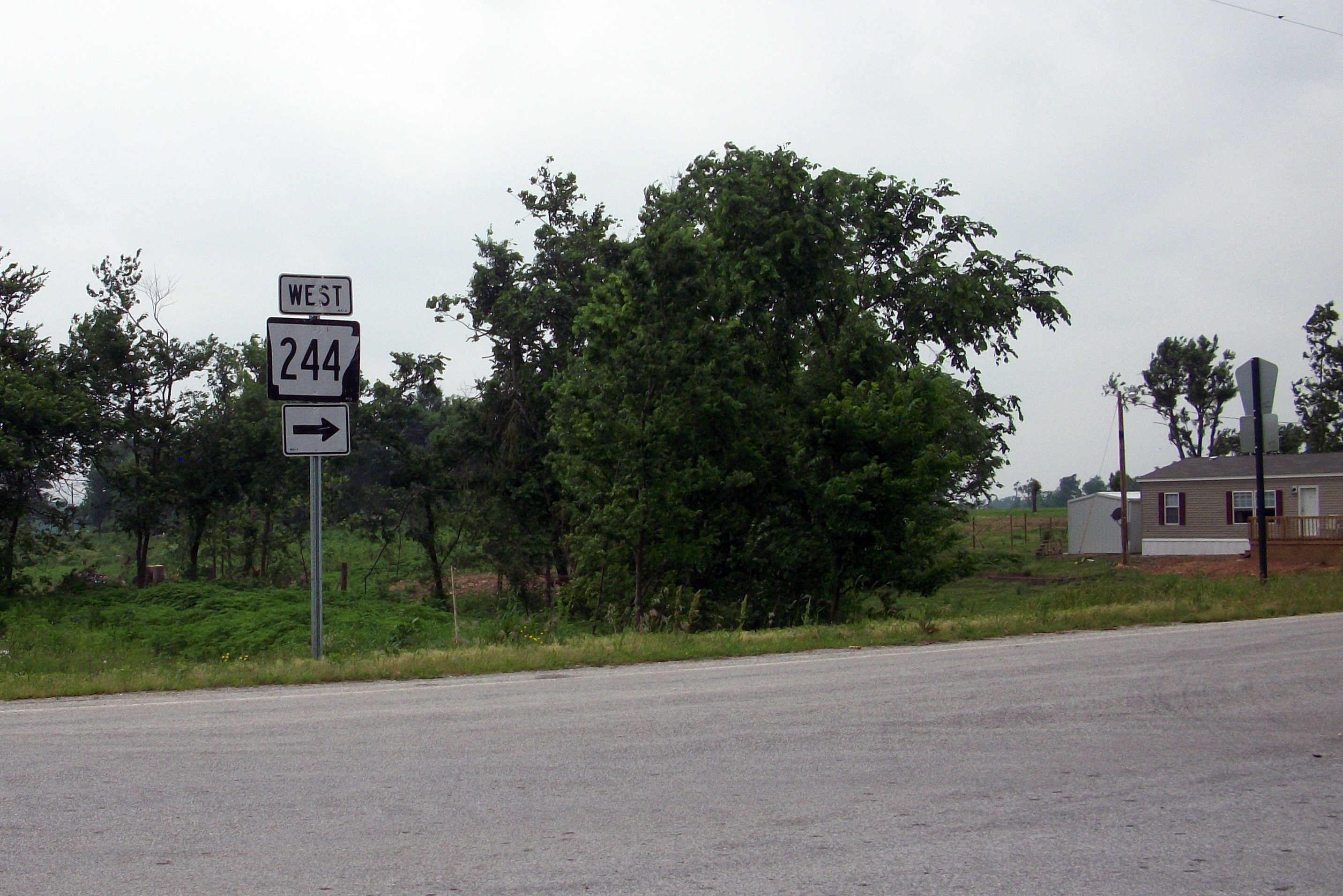
Arkansas 244
Arkansas Highway 244 at its eastern terminus in Benton County, AR at a rural junction with Arkansas Highway 16.
Wikimedia Commons (cc0)