
Photo Gallery
Community photos and memories
No photos found.
Community Photos
Photos from local communities and photographers

412 DSP BainbridgeWa 003 - DPLA - f2f44bf85157b7889e186f9be6fc5d70
The original digital file had the following descriptive metadata embedded in its header: Name: 412_DSP_BainbridgeWa_003.jpg Date Picture Taken: 10/25/2007 2:44:13 PM Keywords: Cities Towns, Fall color, House, Houses, Ocean, Rural, Sailboat, Sunrise [Folder Topic: Cities Towns]
Wikimedia Commons (public domain)

Aerial view of Bainbridge Island and Agate Passage in Olympic Peninsula
Aerial view of Bainbridge Island (bottom center/left) and Agate Passage (center), facing north north west. Beyond Bainbridge Island is Port Orchard Bay (left center) and the Olympic Peninsula (top). Taken by myself from a commercial airliner window.
Wikimedia Commons (public domain)

Bainbridge Island (Wash.) evacuation -- Group of young evacuees wave from special train as it leaves Seattle with Island evacuees, March 30, 1942
Bainbridge Island (Wash.) evacuation -- Group of young evacuees wave from special train as it leaves Seattle with Island evacuees, March 30, 1942
Wikimedia Commons (public domain)

Bainbridge island eelgrass bed
Eelgrass beds such as this one found on Bainbridge Island, Washington, USA, have been identified as a possible primary source of energy to the food chain and may also serve as nursery areas for juvenile forage fish. June 2012
Wikimedia Commons (public domain)

Calm Ripples (Unsplash)
Bainbridge Island, United States
Wikimedia Commons (cc0)

DOUGLAS FIR TREES APPROXIMATELY 100 YEARS OLD ON BAINBRIDGE ISLAND, WASHINGTON - NARA - 554989
Wikimedia Commons (public domain)
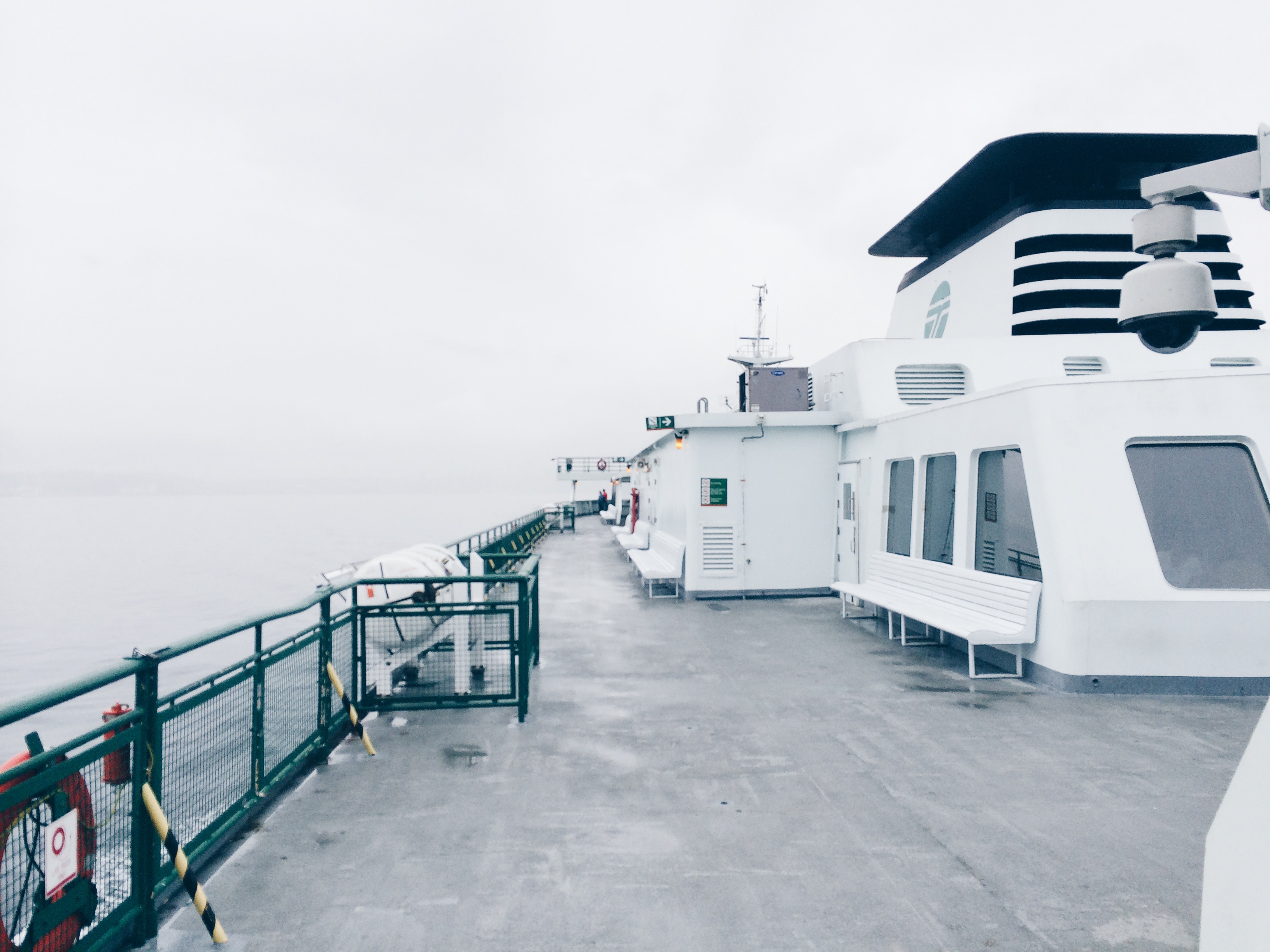
Ferry deck (Unsplash)
Bainbridge Island, United States
Wikimedia Commons (cc0)

Ferry interior with chairs (Unsplash)
Port Orchard, United States
Wikimedia Commons (cc0)

Scenic 101 (14411944480)
Marina in rising morning mist, Bainbridge Island, WA. USEPA Photo by Eric Vance. Public domain image
Wikimedia Commons (public domain)

Pholis laeta
Crescent gunnel (Pholis laeta) collected in a beach seine by USGS Western Fisheries Research Center scientists while conducting a survey for juvenile surf smelt on Bainbridge Island, Washington, USA.
Wikimedia Commons (public domain)

Seattle Mail and Herald, v. 8, no. Progress, Dec. 17, 1904 - DPLA - 8454fd87da959868c4bf4f0583c62453 (page 42)
The "Progress Issue" was an annual, highly illustrated edition of the Seattle Mail and Herald, in this case 52 pages rather than their usual 16 at the time. Page 10 includes photograph of Puget Sound by Oliver P. Anderson. Page 11 includes photograph of a man in the forest by Webster & Stevens. Page 12 article "The Progress of Seattle" by George F. Cotterill includes photograph of the Cedar River Dam. Page 13 article by I.A. Nadeau discusses "Railroads of Washington." Pages 14-15, 26-27 a
Wikimedia Commons (public domain)

Seattle bainbridgeisland
Bainbridge Island, Washington, Bainbridge Island.
Wikimedia Commons (public domain)

Top view of daisy clump (Unsplash)
Eric Lagergren
Wikimedia Commons (cc0)

Up close with an underwater cap, Wykoff Superfund Site, Puget Sound, Washington. (6806968017)
EPA diver Brent Richmond installs 'solid phase microextraction devices' (SPMDs) at the Wyckoff Superfund Site on the east side of Bainbridge Island in Puget Sound. Those devices will help to determine if the cap is still effective in containing the creosote contamination. Due to the potential for creosote contact, these divers were fully isolated and had to be decontaminated after each dive. For more information about this cleanup site: yosemite.epa.gov/r10/cleanup.nsf/sites/wyckoff Or to learn
Wikimedia Commons (public domain)